RCB & Asiatic Library Map The Past

The story of British Bombay begins with one solitary European structure, the former Manor House of the Portuguese landlord of Bombaim, Garcia da Orta, which was quickly rechristened Bombay Castle. Seen here in the exhibition through the Dutch clergyman Phillipus Baldaeus’ view from the 1670s, the entire fort of Bombay was centered around
this one structure.
The functionality of maps of Bombay for almost a century ahead remains primarily for navigation. The Bellin map of the 1750s is indicative of what facets were deemed important to make it safely into Bombay harbour – Sunken Rock, Cross Island, and the ‘White House’ at Mazagaon, to name a few, all prominently labeled on the map.
Yet another century later, the burgeoning town is on the verge of becoming a thriving metropolis, and we see here the
last couple of maps in the 1850s by one Henry Conybeare before demolition of the fort walls, opening up (relatively) large tracts of land for development, forever changing the destiny of Bombay. By this time, cadastral surveys had become far more important than navigational ones, as revenue from the shipping trade was well-regulated and it had now become more important to ascertain revenue from the sale & taxation on the lands of Bombay.
There’s always a flip-side to too much prosperity; the plague of 1896 hit Bombay much harder than other parts of India, largely in the overpopulated parts of the city, which determined a need by the Municipal Commission for mapping out & marking the heavily affected parts and deploying personnel on tackling sharply rising cases & cordoning off areas, something we’ve all experienced in the last couple of years.
And finally, to cap off the last major redevelopment project (of Marine Drive) and the apex point of Bombay’s dock development, a map that shows the newly constructed gymkhanas, the CSMVS museum, and the fairly recent Gateway of India, here is a map primarily published for sale to Bombay residents as well as tourists, possibly the first series of tourist maps made on Bombay, one of the last new functional uses of maps before tom-toms and google maps was to forever make the functional use of maps irrelevant.
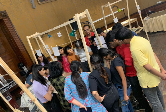
Mrinal Kapadia weaves a story around the conserved maps of Bombay and takes participants on an interactive journey
through cartographical records at Asiatic Library.
