Meandering Through A Mapped Canvas
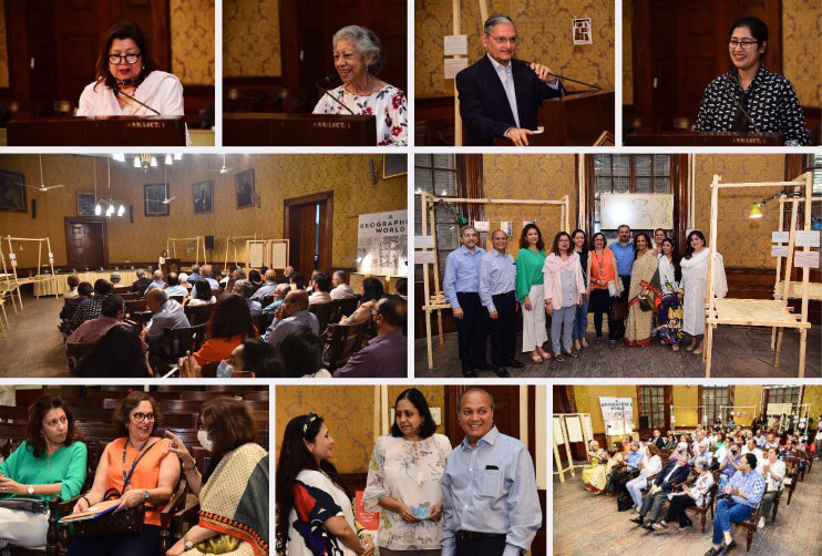
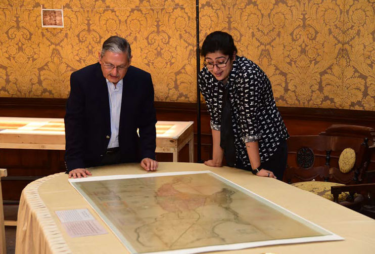
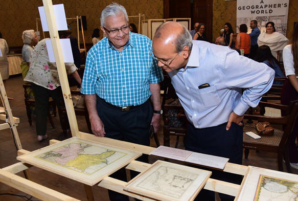
On April 1st, 2022, the Urban Heritage Committee, along with the Asiatic Society of Mumbai, opened the Map Exhibition at the Durbar Hall for a month-long showcase of rare maps of Mumbai spanning 300 years. It was a wellattended event with Rotarians, media, donors and interested parties coming together.
Prof. Vispi Balaporia, President of ASM, and RCB President Shernaz Vakil both gave lovely opening speeches followed by our guest of honor, Rtn. Cyrus Guzder. Rtn. Guzder’s speech covered a span of topics such as maps and their interpretations/ meanings and how they are perceived differently from viewer to viewer.
Being not just a Rotarian of our Club but also a trustee of ASM and an art history buff, he was uniquely qualified to give the opinions speech on this topic.
Rtn. Guzder was followed by Amalina Dave, a paper conservator who has been working as a consultant with the Asiatic for over five years, previously conserving books and then maps.
The exhibition showcases has 32 of the hundred maps that have been conserved. Maps were chosen to reflect the diversity of the collection, based on:
a) the oldest,
b) the most historical value,
c) in the most fragile condition, and,
d) the diversity of the eclectic collection
spanning different eras, different materials, with inks and pigments.
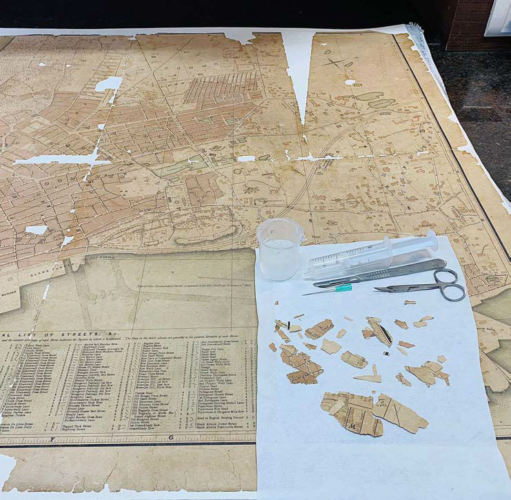
1. Reconstructing the Native Town of Bombay, 1855. The map suffered extreme fragmentation due to the degradation of
paper – it has now been reconsolidated into a flat map.
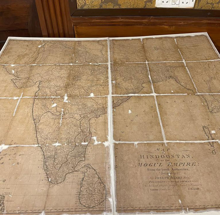
2. This is a photograph of the restored ‘Map of Hindoostan’ by James Renell (1788). This particular map was one of the first accurate and precise maps of India. Rightly so, since this was made for the Royal Society and by an East India company employee, James Renell. It gave the company a detailed idea of the land they were hoping to establish a
stronghold in. The map also presented the ‘perfect storm’ to Amalina, with many pain points. From being cut up in 24 pieces to then being rolled up and subject to treatments that led to further deterioration – we today see a flattened map that can be handled after approximately three months of strenuous work.
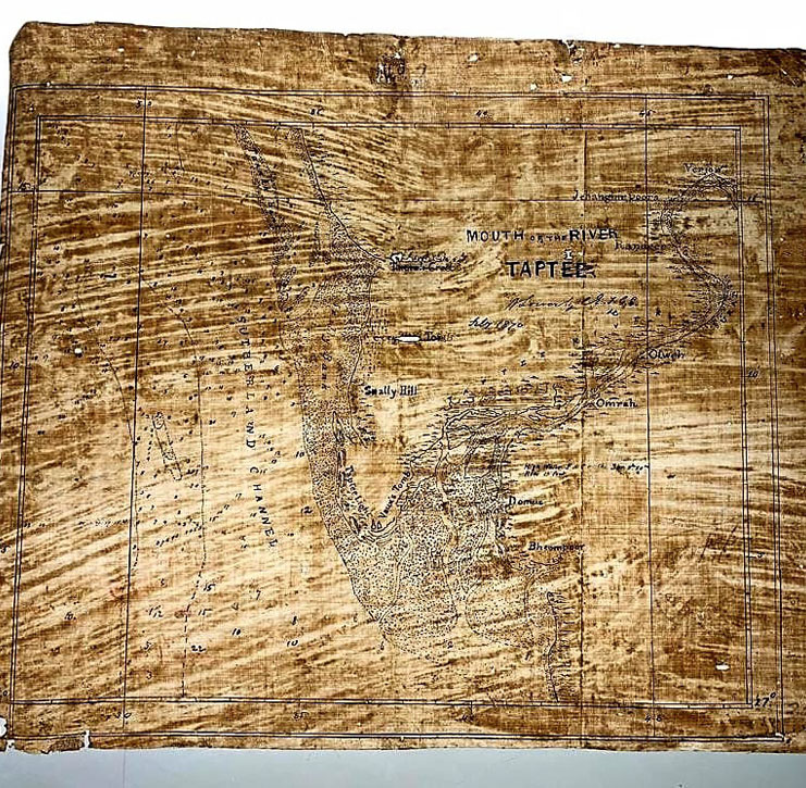
3. Tracing paper map of River Tapi from 1870. It’s very rare to see tracing paper maps today and there are 4 of these displayed as part of the exhibition. In the exhibition, they are also testaments to changing materiality of paper and evolution of map making. Cleaning this particular tracing paper map was a nightmare, since it had almost lost its original state and was no more readable against a backlight. In our exhibition, it proudly shines against the backlit table, showcasing the complex story of its survival.
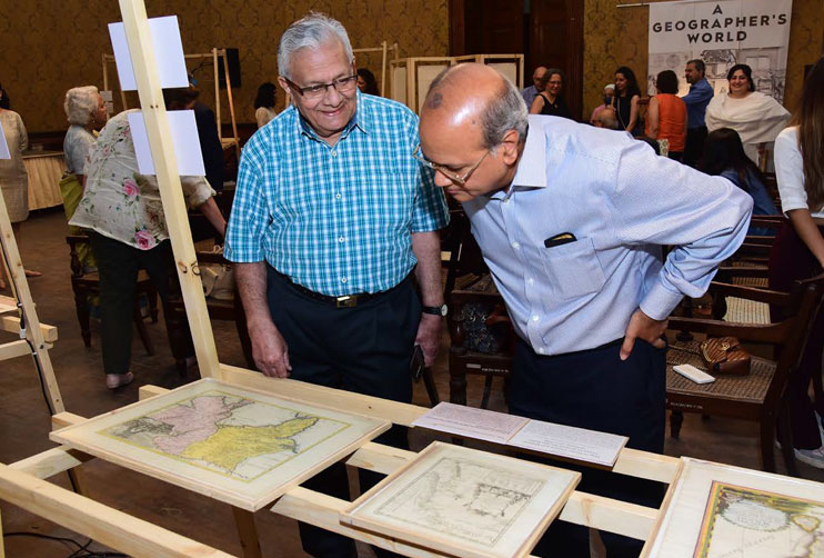
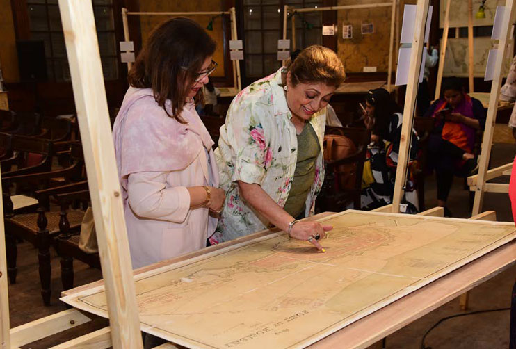
The goal of the exhibition was not to display the ‘prettiest’ or the most complete, ASM wanted to showcase the journeys that these maps have taken – the good, the bad, and their persistent survival. The 32 maps reflect different eras and materials, but also focus on the conservation processes – the steps ASM took to bring these maps to a place they could be engaged with, without compromising their safety or stability. Four of the maps displayed were highly fragmented, but have been restored into single, consolidated objects.
The earliest maps are French maps from 1652, and the most modern is from the early 1900s. The maps are of Bombay, and then there are some more general maps of the Indian subcontinent. There are a variety of maps, including pictographic maps, maritime maps, tracing paper maps, and political maps. The maps vary greatly in size – from 8×10 inches to 7.5 feet – and include the vast collection of the Great Trignometrical Survey of India, which are some of the most detailed and intricate maps of the 19th century.
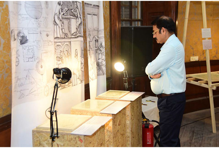
Each map, whether European or South Asian in origin, tells a story about evolving India. The collection shows the evolution of maps that were geographically inaccurate from the 1600s (often based solely on traveller accounts and some educated guessing), to the immense geographic and topographic detail starting in the 19th century. The earlier maps have more decorative elements, while the more modern maps have practical use, and thus are less illustrated. Each of these maps has required a different series of treatments of conservation, as the papers, inks, and condition varied widely because of the different eras, storage conditions, and levels of degradation. This project has built the capacity of the conservation lab at the Asiatic, as we have worked with increasingly complex techniques, equipment, and materials.